top of page


Using the latest airborne automated and data processing technologies, Elevated Services offers fast delivery of high-accuracy orthomosaics, volume calculations, and 3D models.
Home
BOUNDARY SURVEYS


TOPOGRAPHIC SURVEYS


_JPG.jpg)
HYDROGRAPHIC SURVEYS


PHOTOGRAMMETRIC MAPPING

360° VIRTUAL TOURS
360º Virtual Tours allow your clients and colleagues to view a job site, building, or other project in any direction and can be integrated into your own website and social media page.
Click,Drag &Zoom
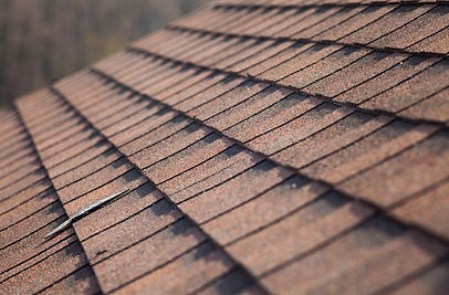
AERIAL INSPECTIONS AND MONITORING
An aerial photograph has advantages over traditional ground images. It provides a current pictorial view from a perspective that truly shows the big picture. It can be used on job sites to show day-to-day comparisons or inaccessible landscapes. Elevated Services uses modern UAS (Unmanned Aircraft Systems) to capture high resolution images.


CONSTRUCTION LAYOUT
_JPG.jpg)


bottom of page